2024 Map of Moorhead
USGS Topo · Published 2024About this map
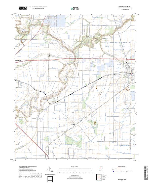
The Big Sunflower River and the Quiver River snake through this section of the Mississippi Delta, defining a landscape of bayous and agricultural land. In the eastern portion of the map, the town of Moorhead serves as a local hub, anchored by the Mississippi Delta Community College and the Moorhead Cem. The surrounding territory is dotted with smaller points of interest like Garvins Ferry and Markham, reflecting the area's rural settlement patterns and river-dependent history.
Find a feature on this map
82 named features on this map. Tap any name to fly to it.
Don’t see what you’re looking for? This feature index may not catch every label — zoom into the map to look around manually.
Map Details
Editions of this 2024 Moorhead Map
This is the sole edition of this map. No revisions or reprints were ever made.
Historical Maps of Johnsonville Through Time
1 maps found