Loading...
Loading map...2023 Map of Mukilteo
USGS Topo · Published 2023About this map
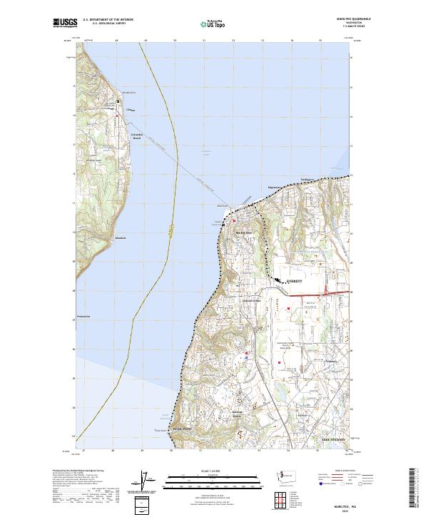
Possession Sound separates the coastal communities of Mukilteo and Clinton in this contemporary look at the Everett area. The Mukilteo - Clinton Ferry route remains the primary transit link across the channel, connecting the mainland to Whidbey Island. On the western shore, residential clusters like Columbia Beach and Glendale are tucked among winding roads such as Bob Galbreath Rd and Cedar Point Rd. Local heritage is preserved at Saint Peters Lutheran Cem near Randall Point.
Find a feature on this map
136 named features on this map. Tap any name to fly to it.
Don’t see what you’re looking for? This feature index may not catch every label — zoom into the map to look around manually.
Map Details
Date Portrayed2023
Date Published2023
PublisherU.S. Geological Survey
Map TypeTopographic
Scale1:24000
Physical Dimensions24 x 29 inches
Editions of this 2023 Mukilteo Map
This is the sole edition of this map. No revisions or reprints were ever made.
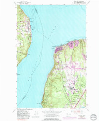
Historical Maps of Boulevard Bluffs Through Time
Featured Locations
Source Details
SourceU.S. Geological Survey
CopyrightPublic Domain