2022 Map of Nebo
USGS Topo · Published 2022About this map
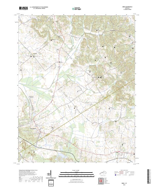
Providence and Nebo anchor the southern reaches of this Western Kentucky landscape, where the rolling terrain is defined by an intricate network of rural roads and family cemeteries. The map reveals a high density of ancestral burial grounds, including the Lisman Family Cem, Gardner Family Cem, and McCoy-Gardner Cem, offering significant value for genealogical research in this region. Along the border between Webster and Hopkins Counties, the land is drained by waterways such as Slover Cr and Weirs Cr, which meander through the valley bottoms. Significant landmarks such as the Providence-Webster County Airport and the Tirzah Primitive Baptist Church Cem stand out as community focal points, while the prominence of Balls Hill provides a distinct geographical marker in the eastern section of the quadrangle.
Find a feature on this map
96 named features on this map. Tap any name to fly to it.
Don’t see what you’re looking for? This feature index may not catch every label — zoom into the map to look around manually.
Map Details
Editions of this 2022 Nebo Map
This is the sole edition of this map. No revisions or reprints were ever made.