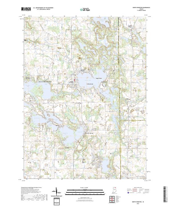
2022 Map of North Webster
USGS Topo · Published 2022About this map
Webster Lake and the Tippecanoe River form the heart of this Indiana lake country, where residential clusters like North Webster and Eagle Point overlook a dense network of glacial water bodies. The landscape is defined by its diverse wetlands and interconnecting waterways, including James Lake, Papakeechie Lake, and Big Barbee Lake. This 2022 survey documents the established resort and residential character of the region, from the organized streets of Indian Village to the wooded grounds of Epworth Forest. Genealogists will find several notable burial sites preserved in the agricultural sections away from the shoreline, including Pleasant Grove Cem and Oak Grove Cem. The map captures the intricate boundary lines where Kosciusko, Noble, and Whitley counties meet, highlighting how the natural drainage through Kuhn Ditch and Grassy Creek continues to dictate the local geography.
Find a feature on this map
102 named features on this map. Tap any name to fly to it.
Don’t see what you’re looking for? This feature index may not catch every label — zoom into the map to look around manually.
Map Details
Editions of this 2022 North Webster Map
This is the sole edition of this map. No revisions or reprints were ever made.
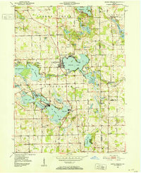
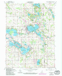
Historical Maps of Barbee Through Time
3 maps found