2024 Map of Notasulga
USGS Topo · Published 2024About this map
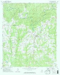
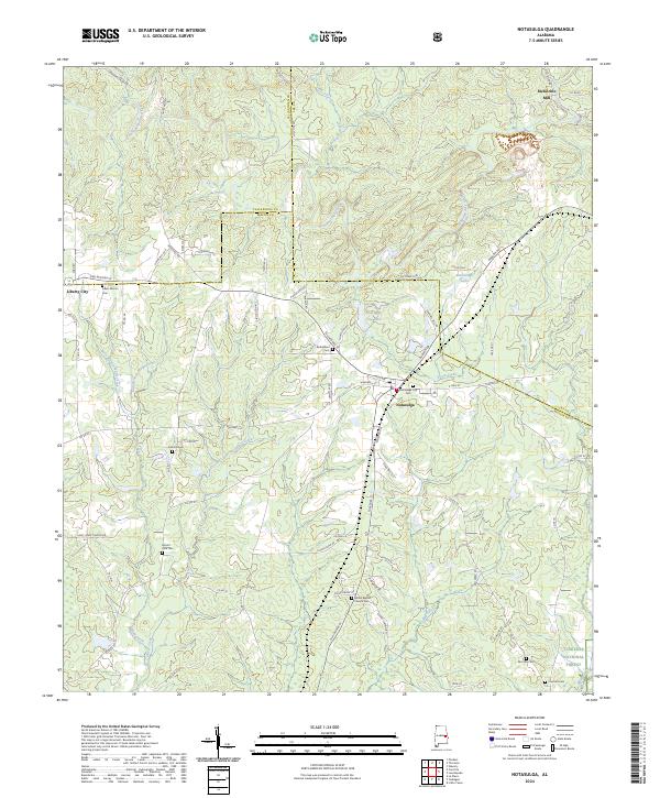
Notasulga serves as the central hub of this East Alabama landscape, where the town's grid meets the convergence of Town Creek and the rail corridor. The surrounding terrain is defined by a dense network of tributaries including Sougahatchee Creek and the multiple branches of Wolf Creek, which carve through the countryside of Macon and Lee Counties. Small-scale industrial history and local landmarks are scattered throughout the quadrangle, from McRitchie Mill in the northeast to the northern edge of the Tuskegee National Forest in the southeast.
Find a feature on this map
89 named features on this map. Tap any name to fly to it.
Don’t see what you’re looking for? This feature index may not catch every label — zoom into the map to look around manually.
Map Details
Editions of this 2024 Notasulga Map
This is the sole edition of this map. No revisions or reprints were ever made.