Loading...
Loading map...2023 Map of Nunica
USGS Topo · Published 2023About this map
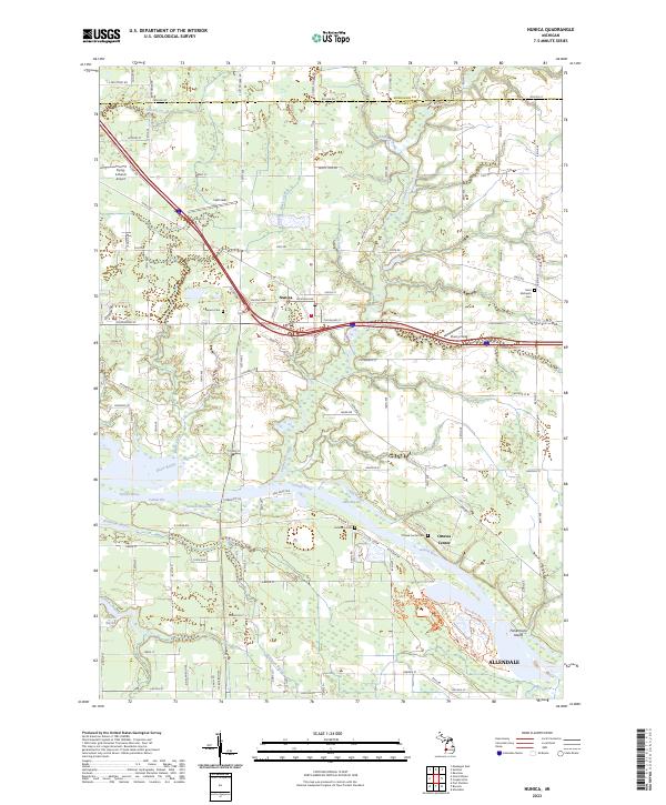
The Grand River dominates this portion of Ottawa County, shaping a landscape defined by an intricate network of wetlands and bayous. The settlement of Nunica serves as a northern focal point, situated near the junction of Crockery Creek and Black Creek, while Allendale anchors the southeastern corner. Historical land use is evident in the numerous burial grounds scattered throughout the region, including the Nunica Cem, Saint Michael's Cem, and Ottawa Center Cem.
Find a feature on this map
99 named features on this map. Tap any name to fly to it.
Don’t see what you’re looking for? This feature index may not catch every label — zoom into the map to look around manually.
Map Details
Date Portrayed2023
Date Published2023
PublisherU.S. Geological Survey
Map TypeTopographic
Scale1:24000
Physical Dimensions24 x 29 inches
Editions of this 2023 Nunica Map
This is the sole edition of this map. No revisions or reprints were ever made.
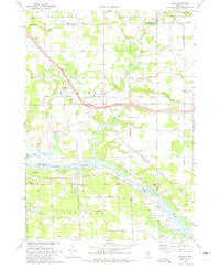
Historical Maps of Allendale Charter Township Through Time
Featured Locations
- Fruitport Charter Township, MI
- Ravenna Township, MI
- Polkton Township, MI
- Allendale Charter Township, MI
- Ottawa Center, Crockery Township
Source Details
SourceU.S. Geological Survey
CopyrightPublic Domain