2023 Map of Oakville
USGS Topo · Published 2023About this map
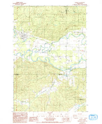
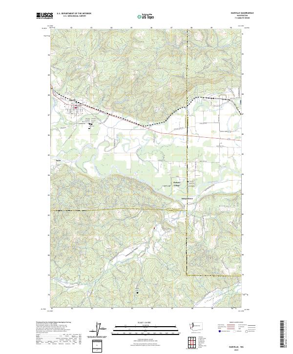
The Chehalis River meanders through the heart of this region, defining the valley where the communities of Oakville and Independence were established. The landscape is a complex intersection of three counties—Grays Harbor, Lewis, and Thurston—converging near the river's winding path. In the north, the terrain rises into the southern reaches of the Capitol Forest, where Phantom Creek and Cedar Creek drain the timbered heights. This area is deeply tied to regional tribal history, as evidenced by the Chehalis Village and the Chehalis Tribal Cem located south of the main river channel.
Find a feature on this map
77 named features on this map. Tap any name to fly to it.
Don’t see what you’re looking for? This feature index may not catch every label — zoom into the map to look around manually.
Map Details
Editions of this 2023 Oakville Map
This is the sole edition of this map. No revisions or reprints were ever made.