Loading...
Loading map...2024 Map of Omaha
USGS Topo · Published 2024About this map
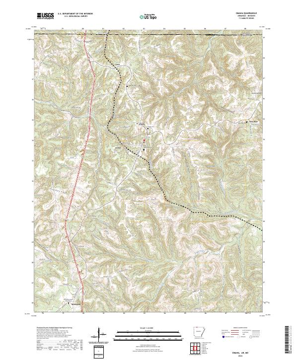
Omaha and its surrounding hill country sit at the northern edge of Arkansas, just below the Missouri border. This modern topographic study reveals a landscape defined by deeply incised drainages, where settlements like Cricket and Crest follow the high ground along corridors like Old US Hwy 65. The area is characterized by a dense network of hollows, including Burchman Hollow and Blowing Spring Hollow, which feed into major watercourses such as Turkey Creek and Cricket Creek.
Find a feature on this map
104 named features on this map. Tap any name to fly to it.
Don’t see what you’re looking for? This feature index may not catch every label — zoom into the map to look around manually.
Map Details
Date Portrayed2024
Date Published2024
PublisherU.S. Geological Survey
Map TypeTopographic
Scale1:24000
Physical Dimensions24 x 29 inches
Editions of this 2024 Omaha Map
This is the sole edition of this map. No revisions or reprints were ever made.
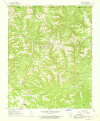
Historical Maps of Omaha Through Time
Featured Locations
Source Details
SourceU.S. Geological Survey
CopyrightPublic Domain