2022 Map of Penhook
USGS Topo · Published 2022About this map
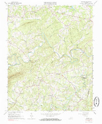
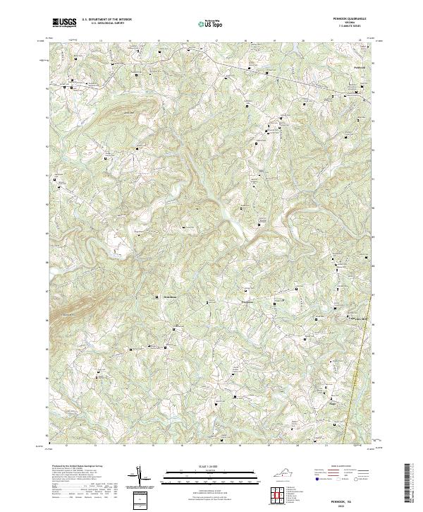
Pigg River winds through the heart of this landscape, carving a valley between the prominent heights of Jacks Mtn and Chesnut Mtn. The settlement of Penhook serves as a local hub near the Franklin County and Pittsylvania County border, defined by a dense network of family cemeteries that speak to the deep genealogical roots of the region. These burial sites, such as the Anderson Family Cem at Penhook and Smith Cem at Penhook, are clustered along historic corridors like the Old Franklin Tpke.
Find a feature on this map
159 named features on this map. Tap any name to fly to it.
Don’t see what you’re looking for? This feature index may not catch every label — zoom into the map to look around manually.
Map Details
Editions of this 2022 Penhook Map
This is the sole edition of this map. No revisions or reprints were ever made.