
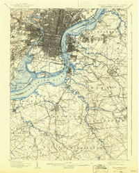
1894 Map of Philadelphia
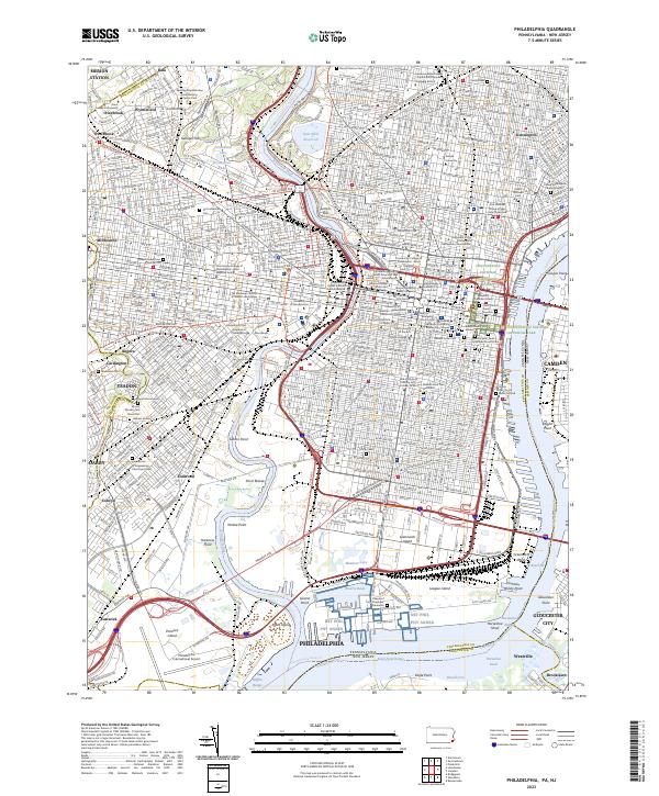
USGS Topo · Published 1958About this map
The Delaware River serves as the central artery for this late 19th-century landscape, dividing the urban grid of Philadelphia from the emerging suburbs of New Jersey. The industrial character of the waterfront is evident in the strategic positioning of the U. S. Navy Yard at League Id. and the defensive fortifications at Fort Mifflin. Dense rail networks, including the Pennsylvania R. R. and the Atlantic City R. R., weave through established neighborhoods like Paschallville and across to Camden, reflecting the era's heavy reliance on steam-powered transit. Beyond the urban core, the map reveals a rural transition into Gloucester County, where settlements like Thorofare and the Alms House near Grenloch sit among numerous creek branches. The detailed topography illustrates the complex hydrology of the region, from the tidal marshes around Hog Id. to the winding course of the Schuylkill River, providing a clear record of the area's geography before 20th-century industrial expansion reshaped the shorelines.
Find a feature on this map
182 named features on this map. Tap any name to fly to it.
Don’t see what you’re looking for? This feature index may not catch every label — zoom into the map to look around manually.
Map Details
Editions of this 1894 Philadelphia Map
This is the sole edition of this map. No revisions or reprints were ever made.
Historical Maps of Philadelphia Through Time
14 maps found

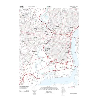
1891 Philadelphia
Philadelphia County, PA
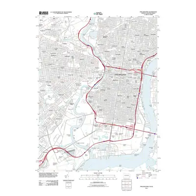
1894 Philadelphia
Philadelphia County, PA

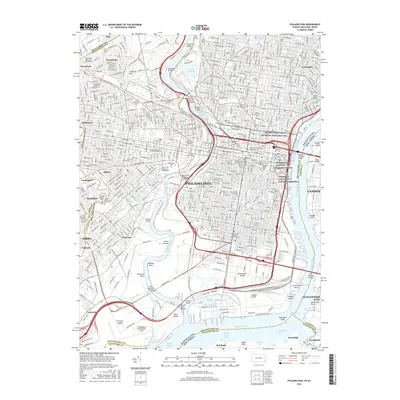
1896 Philadelphia
Philadelphia County, PA
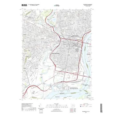
1898 Philadelphia
Philadelphia County, PA

1920 Philadelphia
Philadelphia County, PA

1943 Philadelphia
Philadelphia County, PA
1949 Philadelphia
Philadelphia County, PA
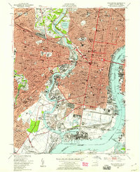
1967 Philadelphia
Philadelphia County, PA
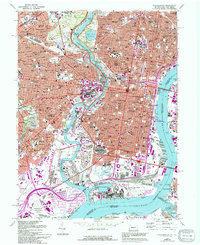
1995 Philadelphia
Philadelphia County, PA
2011 Philadelphia
Philadelphia County, PA
2013 Philadelphia
Philadelphia County, PA
2016 Philadelphia
Philadelphia County, PA
2019 Philadelphia
Philadelphia County, PA
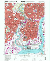
2023 Philadelphia
Philadelphia County, PA