2022 Map of Pink Hill
USGS Topo · Published 2022About this map
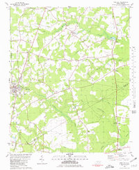
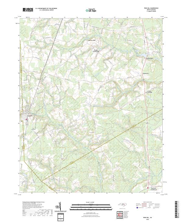
The Trent River meanders through the heart of this landscape, anchoring a rural community defined by its crossroads settlements and traditional mill sites. Near the Lenoir and Duplin county line, the town of Pink Hill serves as a local hub, supported by the nearby Pink Hill Airport. The area’s agrarian roots are evident in the numerous named junctions, including Nobles Crossroads, Irvings Crossroads, and Hargetts Crossroads, which likely grew around central family farms and trade points.
Find a feature on this map
76 named features on this map. Tap any name to fly to it.
Don’t see what you’re looking for? This feature index may not catch every label — zoom into the map to look around manually.
Map Details
Editions of this 2022 Pink Hill Map
This is the sole edition of this map. No revisions or reprints were ever made.