Loading...
Loading map...2021 Map of Pleasant Hill
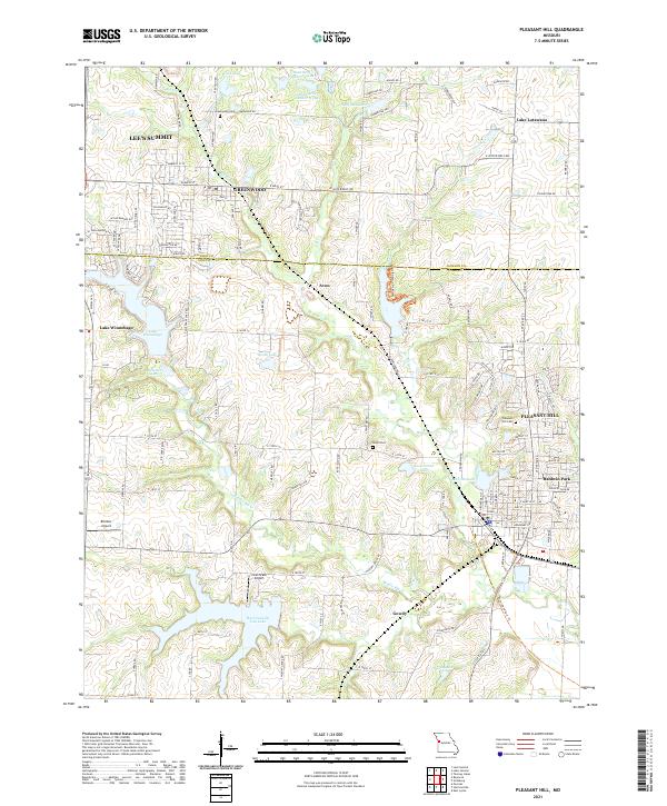
USGS Topo · Published 2021About this map
Pleasant Hill and Greenwood anchor this study of the borderlands between Jackson and Cass counties. The landscape is defined by its transition from suburban expansion near Lee's Summit to the agricultural and recreational reaches of Baldwin Park and Gowdy. Water management is a central theme, evidenced by numerous man-made reservoirs like Lake Winnebago, Harrisonville City Lake, and the complex of Reed Area Number 10 Lake and Reed Area Number 9 Lake.
Find a feature on this map
124 named features on this map. Tap any name to fly to it.
Don’t see what you’re looking for? This feature index may not catch every label — zoom into the map to look around manually.
Map Details
Date Portrayed2021
Date Published2021
PublisherU.S. Geological Survey
Map TypeTopographic
Scale1:24000
Physical Dimensions24 x 29 inches
Editions of this 2021 Pleasant Hill Map
This is the sole edition of this map. No revisions or reprints were ever made.
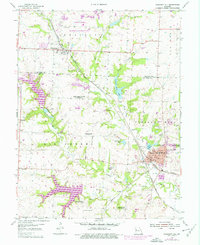
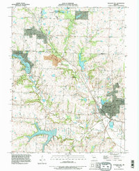
Historical Maps of Avon Through Time
3 maps found
Featured Locations
Source Details
SourceU.S. Geological Survey
CopyrightPublic Domain