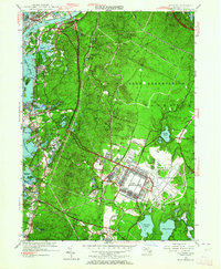
1946 Map of Pocasset
USGS Topo · Published 1946About this map
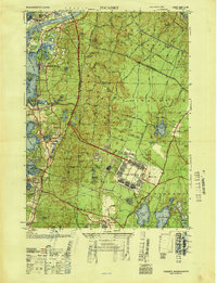
Camp Edwards dominates the central landscape of this 1946 study, reflecting the significant military presence in Barnstable County immediately following World War II. The map details the extensive facility alongside Otis Field and a nearby CCC Camp, illustrating a period of intense federal activity in the region. Along the western coastline, the established summer colonies and villages of Pocasset, Cataumet, and Monument Beach are shown with their proximity to the Buzzards Bay shoreline and the Cape Cod Canal.
Find a feature on this map
95 named features on this map. Tap any name to fly to it.
Don’t see what you’re looking for? This feature index may not catch every label — zoom into the map to look around manually.
Map Details
Editions of this 1946 Pocasset Map
This is the sole edition of this map. No revisions or reprints were ever made.
Historical Maps of Falmouth Through Time
12 maps found
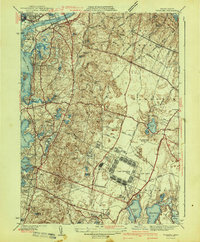
1935 Pocasset
Barnstable County, MA
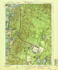
1941 Pocasset
Barnstable County, MA
1943 Pocasset
Barnstable County, MA
1946 Pocasset
Barnstable County, MA
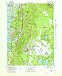
1953 Pocasset
Barnstable County, MA
1967 Pocasset
Barnstable County, MA
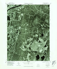
1977 Pocasset
Barnstable County, MA
2012 Pocasset
Barnstable County, MA
2015 Pocasset
Barnstable County, MA
2018 Pocasset
Barnstable County, MA
2021 Pocasset
Barnstable County, MA
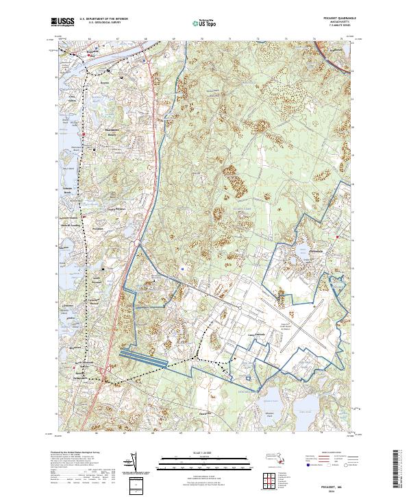
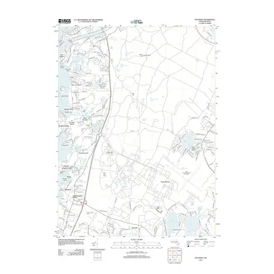
2024 Pocasset
Barnstable County, MA