Loading...
Loading map...2022 Map of Poplar
USGS Topo · Published 2022About this map
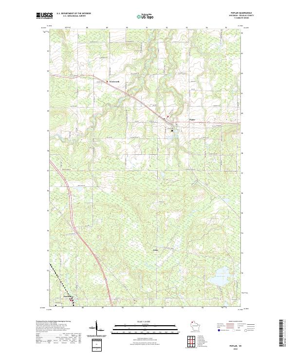
Poplar and Wentworth anchor this Douglas County landscape, where the Tri Co Corridor cuts a direct diagonal through a network of rural roads and wetlands. The drainage pattern is defined by the Poplar River and its associated Poplar River Pond, which wind northward toward Lake Superior alongside the Middle River. To the south, the terrain transitions toward the settlement of Hawthorne and the secluded waters of Steele Lake.
Find a feature on this map
79 named features on this map. Tap any name to fly to it.
Don’t see what you’re looking for? This feature index may not catch every label — zoom into the map to look around manually.
Map Details
Date Portrayed2022
Date Published2022
PublisherU.S. Geological Survey
Map TypeTopographic
Scale1:24000
Physical Dimensions24 x 29 inches
Editions of this 2022 Poplar Map
This is the sole edition of this map. No revisions or reprints were ever made.
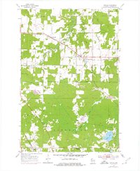
Historical Maps of Amnicon Through Time

Featured Locations
Source Details
SourceU.S. Geological Survey
CopyrightPublic Domain