Loading...
Loading map...2022 Map of Powellsville
USGS Topo · Published 2022About this map
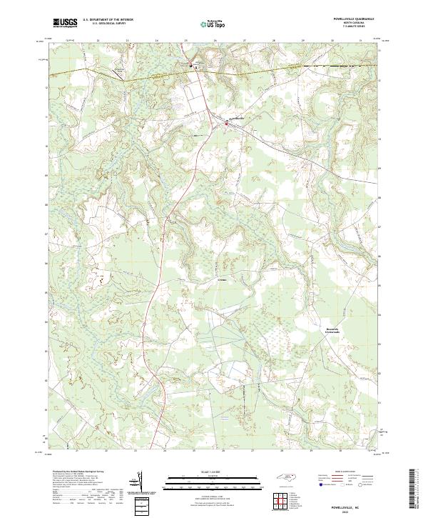
Powellsville serves as the primary hub in this corner of North Carolina, where the northern border of Bertie County meets Hertford County. The landscape is defined by an extensive network of wetlands and drainages, characteristic of the Atlantic coastal plain. Distinctive names like Barbeque Swamp, Loosing Swamp, and Wildcat Swamp indicate a territory deeply shaped by slow-moving waters and low-lying basins.
Find a feature on this map
55 named features on this map. Tap any name to fly to it.
Don’t see what you’re looking for? This feature index may not catch every label — zoom into the map to look around manually.
Map Details
Date Portrayed2022
Date Published2022
PublisherU.S. Geological Survey
Map TypeTopographic
Scale1:24000
Physical Dimensions24 x 29 inches
Editions of this 2022 Powellsville Map
This is the sole edition of this map. No revisions or reprints were ever made.
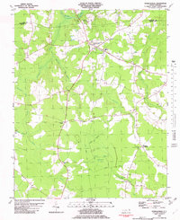
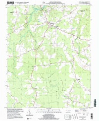
Historical Maps of Powellsville Through Time
3 maps found
Featured Locations
Source Details
SourceU.S. Geological Survey
CopyrightPublic Domain