Loading...
Loading map...2021 Map of Preston
USGS Topo · Published 2021About this map
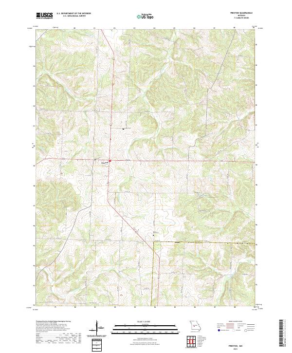
Preston serves as the central hub of this Missouri landscape, situated just north of the Hickory Co Dallas Co boundary. The area is defined by a dense network of drainage systems feeding into larger waterways, most notably the meandering paths of Starks Creek and Mill Creek. This 2021 topographic survey captures a community structured around its rural roads and family heritage sites.
Find a feature on this map
46 named features on this map. Tap any name to fly to it.
Don’t see what you’re looking for? This feature index may not catch every label — zoom into the map to look around manually.
Map Details
Date Portrayed2021
Date Published2021
PublisherU.S. Geological Survey
Map TypeTopographic
Scale1:24000
Physical Dimensions24 x 29 inches
Editions of this 2021 Preston Map
This is the sole edition of this map. No revisions or reprints were ever made.
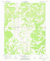
Historical Maps of Preston Through Time
Featured Locations
Source Details
SourceU.S. Geological Survey
CopyrightPublic Domain