2024 Map of Pulaski
USGS Topo · Published 2024About this map
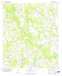
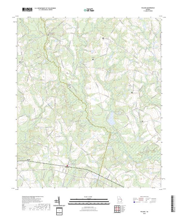
Pulaski and the surrounding rural landscapes of Candler and Bulloch Counties are defined by a network of agricultural roads and historic religious sites. The area north of Parish is heavily influenced by the drainage patterns of Upper Lotts Creek and Tenmile Creek, where the land is dotted with family-named cemeteries and long-standing congregations. Upper Lotts Creek Primitive Baptist Church and Mount Pisgah Baptist Church serve as central landmarks for this farming community, reflecting the deep-rooted social fabric of southeast Georgia. The map documents the persistent rural character of the region, from the residential development at Southern Manor Ests to the secluded reaches of Watering Hole Branch. Researchers will find a high density of ancestral burial grounds, including the Bland W Side Rd Cem and Noahs Ark Cem, which preserve the names of the families who established these townships.
Find a feature on this map
122 named features on this map. Tap any name to fly to it.
Don’t see what you’re looking for? This feature index may not catch every label — zoom into the map to look around manually.
Map Details
Editions of this 2024 Pulaski Map
This is the sole edition of this map. No revisions or reprints were ever made.