2023 Map of Punta de Agua
USGS Topo · Published 2023About this map
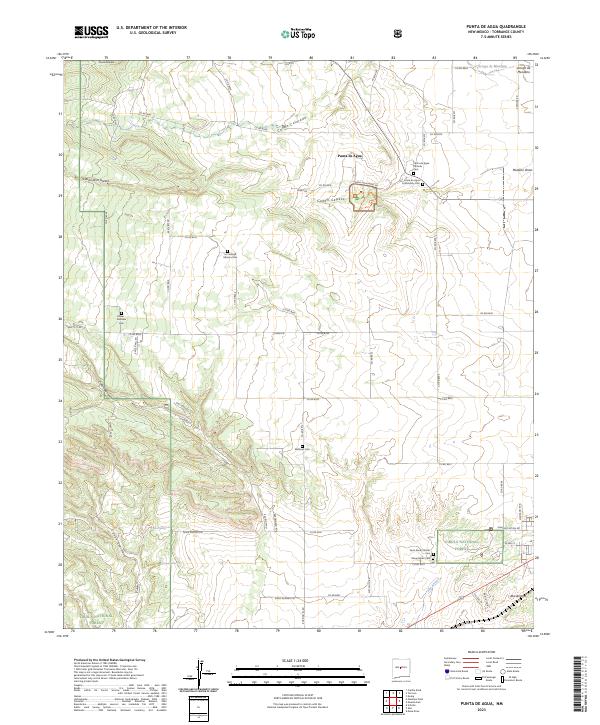
Punta de Agua sits at the foot of the Manzano Mountains, serving as a gateway to the complex history of the Salinas Valley. The map details the Salinas Pueblo Missions National Monument, specifically the Quarai unit, where the preservation of indigenous and Spanish colonial intersections remains central to the landscape. The surrounding terrain is defined by deep drainages such as Cañon Colorado and Cañon de la Gotera, which channel seasonal waters toward the eastern plains.
Find a feature on this map
76 named features on this map. Tap any name to fly to it.
Don’t see what you’re looking for? This feature index may not catch every label — zoom into the map to look around manually.
Map Details
Editions of this 2023 Punta de Agua Map
This is the sole edition of this map. No revisions or reprints were ever made.
Historical Maps of D Candelaria Place Through Time
1 maps found