Loading...
Loading map...2023 Map of Queets
USGS Topo · Published 2023About this map
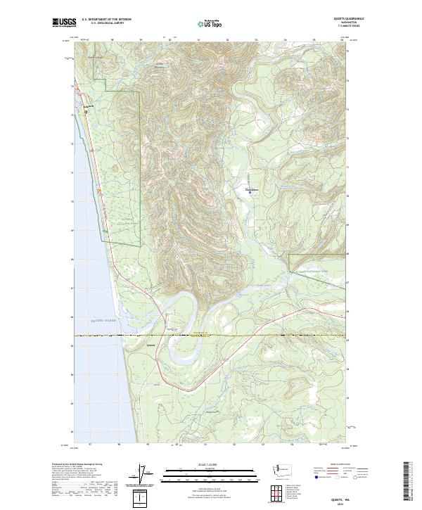
The Pacific Ocean coastline meets the dense forests of the Olympic Peninsula on this map, where the settlement of Queets sits near the river mouth. The landscape is defined by the powerful drainage systems of the Queets River and the Clearwater River, which wind through timbered slopes toward the coast. Upstream, the terrain becomes increasingly complex as it enters the Olympic National Park and the protected Olympic Wilderness, revealing the lower elevations of the Olympic Mountains.
Find a feature on this map
44 named features on this map. Tap any name to fly to it.
Don’t see what you’re looking for? This feature index may not catch every label — zoom into the map to look around manually.
Map Details
Date Portrayed2023
Date Published2023
PublisherU.S. Geological Survey
Map TypeTopographic
Scale1:24000
Physical Dimensions24 x 29 inches
Editions of this 2023 Queets Map
This is the sole edition of this map. No revisions or reprints were ever made.
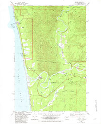
Historical Maps of Queets Through Time
Featured Locations
Source Details
SourceU.S. Geological Survey
CopyrightPublic Domain