2022 Map of Quimby
USGS Topo · Published 2022About this map
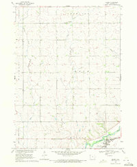
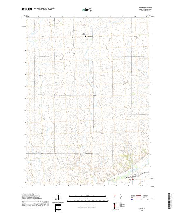
The Little Sioux River corridor anchors this 2022 survey of Cherokee County, where the settlement of Quimby sits near the junction of Co Hwy L56 and Clark Ave. This rural Iowa landscape is defined by the drainage patterns of Rock Cr and Willow Cr, which carve through a regular grid of section roads including Washita Rd and G Ave. For those researching local history or genealogy, the map identifies significant burial sites such as the Maryhill Visitation Cem in the northern reaches near Mary Hill, and the Rock Township Cem further east. The transition from the high prairie ground to the river bottomlands highlights the agricultural layout of the region, showing the enduring structure of township and range lines across this part of Northwest Iowa.
Find a feature on this map
33 named features on this map. Tap any name to fly to it.
Don’t see what you’re looking for? This feature index may not catch every label — zoom into the map to look around manually.
Map Details
Editions of this 2022 Quimby Map
This is the sole edition of this map. No revisions or reprints were ever made.