Loading...
Loading map...2021 Map of Rancho Mirage
USGS Topo · Published 2021About this map
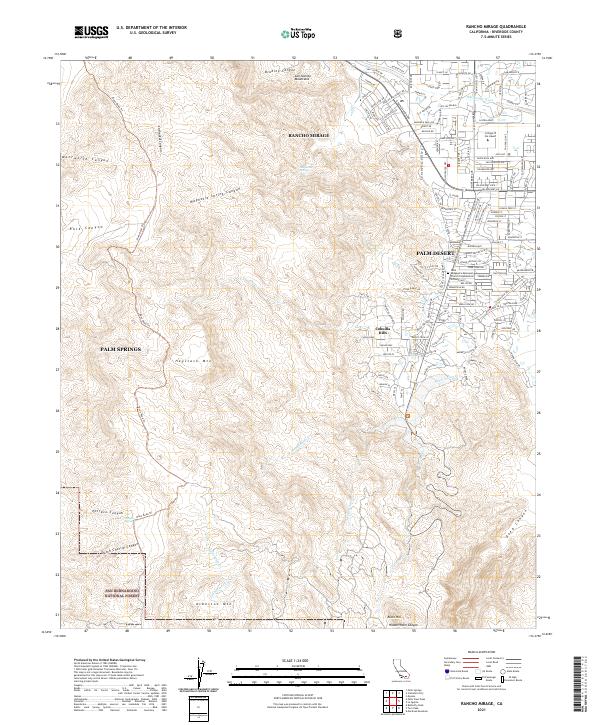
The Coachella Valley floor meets the rising slopes of the San Jacinto Mountains in this modern topographic overview. The suburban expansion of Rancho Mirage and Palm Desert is clearly defined, showing the grid-based development surrounding the College of the Desert and St Margaret's Episcopal Church Columbarium. The map documents the sharp transition between irrigated desert floor and the protected wilderness of the San Bernardino National Forest.
Find a feature on this map
34 named features on this map. Tap any name to fly to it.
Don’t see what you’re looking for? This feature index may not catch every label — zoom into the map to look around manually.
Map Details
Date Portrayed2021
Date Published2021
PublisherU.S. Geological Survey
Map TypeTopographic
Scale1:24000
Physical Dimensions24 x 29 inches
Editions of this 2021 Rancho Mirage Map
This is the sole edition of this map. No revisions or reprints were ever made.
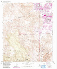
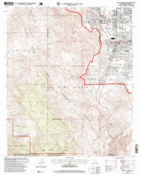
Historical Maps of Palm Desert Through Time
3 maps found
Featured Locations
Source Details
SourceU.S. Geological Survey
CopyrightPublic Domain