Loading...
Loading map...2023 Map of Reisterstown
USGS Topo · Published 2023About this map
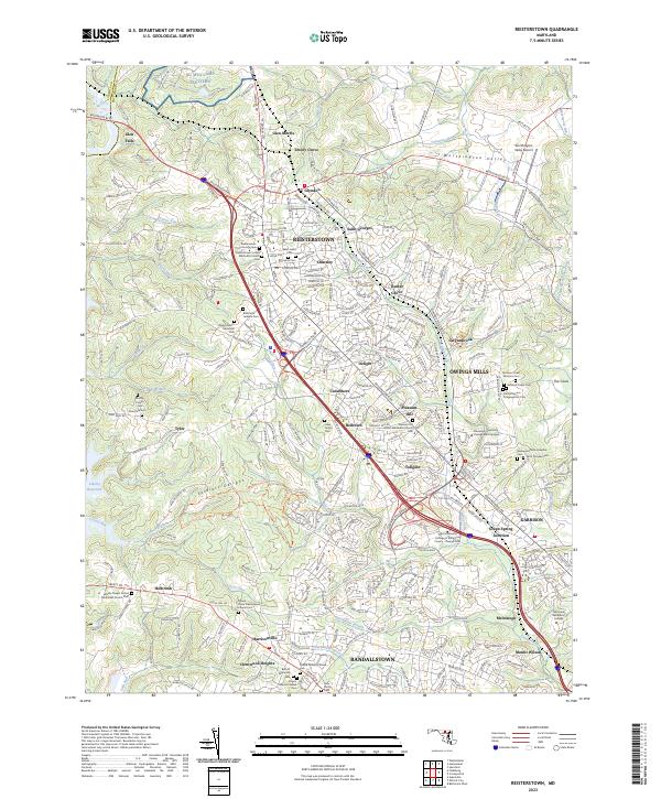
Reisterstown and Owings Mills anchor this modern survey of northwest Baltimore County, where suburban expansion meets the protected natural landscapes of Soldiers Delight and the Worthington Valley. The map is a vital resource for genealogists, documenting a high concentration of memorial sites including the Garrison Forest Veterans Cem, Baltimore Hebrew Cem, and the Rosewood State Hospital Cem.
Find a feature on this map
80 named features on this map. Tap any name to fly to it.
Don’t see what you’re looking for? This feature index may not catch every label — zoom into the map to look around manually.
Map Details
Date Portrayed2023
Date Published2023
PublisherU.S. Geological Survey
Map TypeTopographic
Scale1:24000
Physical Dimensions24 x 29 inches
Editions of this 2023 Reisterstown Map
This is the sole edition of this map. No revisions or reprints were ever made.
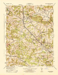
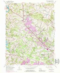
Historical Maps of Tyler Through Time
3 maps found
Featured Locations
Source Details
SourceU.S. Geological Survey
CopyrightPublic Domain