2024 Map of Rentz
USGS Topo · Published 2024About this map
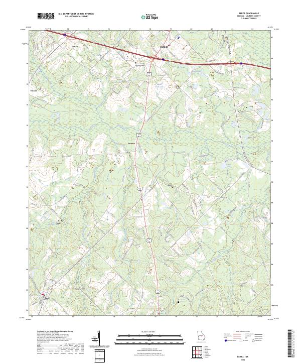
The town of Rentz anchors the southern portion of this Laurens County landscape, where small crossroads communities and family-named landmarks define the local geography. Several rural settlements are distributed across the terrain, including Harlow, Vincent, and Garretta, reflecting the decentralized agricultural and residential patterns of the region. The map captures the presence of the Oconee Fall Line Technical College near the northern border, indicating the area's role as a regional educational hub.
Find a feature on this map
116 named features on this map. Tap any name to fly to it.
Don’t see what you’re looking for? This feature index may not catch every label — zoom into the map to look around manually.
Map Details
Editions of this 2024 Rentz Map
This is the sole edition of this map. No revisions or reprints were ever made.
