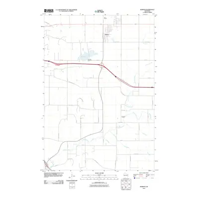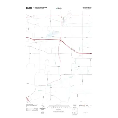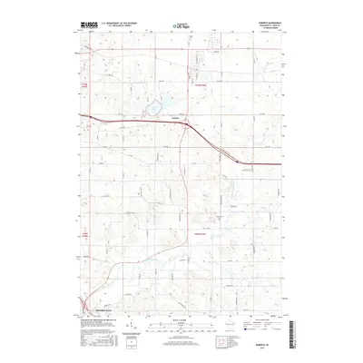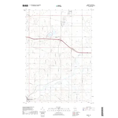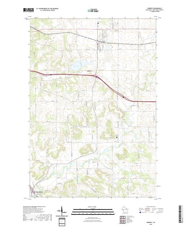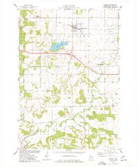
1974 Map of Roberts
USGS Topo · Published 1977About this map
The village of Roberts sits at a geographic crossroads in St. Croix County, defined by the path of the Chicago and North Western railroad and the rolling watershed of the Kinnickinnic River. This mid-1970s survey illustrates a landscape primarily shaped by agriculture and glacial activity, visible in the numerous depressions and sandpits such as the Holden Gravel Pits. To the north, the Warren Cemetery serves as a silent witness to early settlement in Warren township, while the Kinnickinnic Cemetery marks the southern reach near the Townhall.
Find a feature on this map
27 named features on this map. Tap any name to fly to it.
Don’t see what you’re looking for? This feature index may not catch every label — zoom into the map to look around manually.
Map Details
Editions of this 1974 Roberts Map
This is the sole edition of this map. No revisions or reprints were ever made.
Historical Maps of River Falls Through Time
6 maps found