2023 Map of Rock Cave
USGS Topo · Published 2023About this map
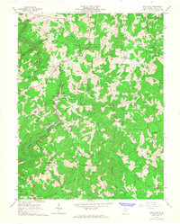
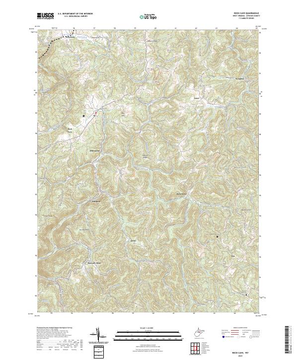
Rock Cave and the upper reaches of the Little Kanawha River define this rural landscape in West Virginia's Upshur County. The area is characterized by high ridges like Mulberry Ridge, Pleasant Ridge, and Heaston Ridge, which separate a dense network of creek valleys. Small settlements and crossroads such as Frenchton, Arlington, Gaines, and Kanawha Head serve as the primary hubs for the region's residents. For genealogists, the map identifies several local burial sites, including Rock Cave Cem, Mount Zion Cem, and Pleasant Dale Cem. A notable geographic feature is the The Fishpond near the center of the sheet, while prominent elevations like Big Run Knob and Prit Mountain provide significant vertical relief. The transport network relies heavily on county routes that follow the winding contours of the terrain, connecting the scattered communities of Holly Grove, Carter, and Evergreen.
Find a feature on this map
118 named features on this map. Tap any name to fly to it.
Don’t see what you’re looking for? This feature index may not catch every label — zoom into the map to look around manually.
Map Details
Editions of this 2023 Rock Cave Map
This is the sole edition of this map. No revisions or reprints were ever made.