2024 Map of Rondo
USGS Topo · Published 2024About this map
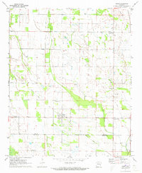
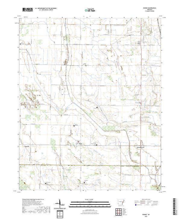
Big Cypress Creek meanders through the heart of this agricultural landscape in eastern Arkansas, marking the transition between Lee and Phillips Counties. The settlement of Rondo serves as a central hub, flanked by smaller communities such as Vineyard and Cypress Corner. This 2024 survey reveals a territory defined by its rural infrastructure, where a dense network of county roads like Lee Road 342 and State Hwy 243 connect scattered family-named cemeteries and local landmarks.
Find a feature on this map
71 named features on this map. Tap any name to fly to it.
Don’t see what you’re looking for? This feature index may not catch every label — zoom into the map to look around manually.
Map Details
Editions of this 2024 Rondo Map
This is the sole edition of this map. No revisions or reprints were ever made.
Historical Maps of Edgewood Through Time
2 maps found