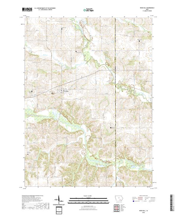
2022 Map of Rose Hill
USGS Topo · Published 2022About this map
The North Skunk River and South Skunk River dominate this rural landscape in southeastern Iowa, where the settlement of Rose Hill serves as a central hub. This modern survey illustrates the persistent agricultural and cemetery-rich character of the region, featuring numerous burial grounds like Old Rose Hill Cem and Jackson Cem. Smaller watercourses, including Middle Cr, Snyder Cr, and Cedar Cr, wind through the section lines, defining the drainage patterns of the Mahaska and Keokuk county border. Genealogists will find a high concentration of family and community landmarks, such as Hopewell Cem, Waddell Cem, and White Oak Grove Cem. The map's grid-like road network, composed of routes like Teller Ave and 230th St, provides a clear view of how modern transportation corridors continue to follow the historic Public Land Survey System divisions in this heartland territory.
Find a feature on this map
64 named features on this map. Tap any name to fly to it.
Don’t see what you’re looking for? This feature index may not catch every label — zoom into the map to look around manually.
Map Details
Editions of this 2022 Rose Hill Map
This is the sole edition of this map. No revisions or reprints were ever made.
Other maps of this area

1954 · Des Moines
USGS Topo · 1:250,000

1956 · Des Moines
USGS Topo · 1:250,000

1956 · Ottumwa North
USGS Topo · 1:62,500

1957 · Des Moines
USGS Topo · 1:250,000

1965 · Gibson
USGS Topo · 1:24,000

1965 · Rose Hill
USGS Topo · 1:24,000

1965 · What Cheer
USGS Topo · 1:24,000

1965 · Delta
USGS Topo · 1:24,000

1968 · University Park
USGS Topo · 1:24,000

1968 · Kirkville
USGS Topo · 1:24,000