Loading...
Loading map...2023 Map of Ruby
USGS Topo · Published 2023About this map
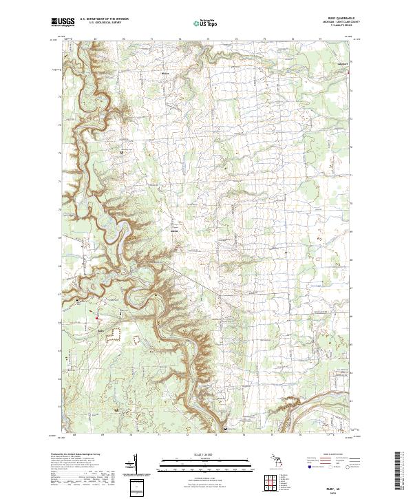
The Black River winds southward through this part of St. Clair County, creating a series of steep banks and oxbows that define the local landscape. The settlement of Ruby sits at the intersection of Imlay City Rd and Abbottsford Rd, surrounded by smaller communities such as Atkins and Blaine. This map provides a clear record of the area's rural cemetery network, including the Harmony Cem and Ruby Cem, which are essential markers for local genealogical research.
Find a feature on this map
97 named features on this map. Tap any name to fly to it.
Don’t see what you’re looking for? This feature index may not catch every label — zoom into the map to look around manually.
Map Details
Date Portrayed2023
Date Published2023
PublisherU.S. Geological Survey
Map TypeTopographic
Scale1:24000
Physical Dimensions24 x 29 inches
Editions of this 2023 Ruby Map
This is the sole edition of this map. No revisions or reprints were ever made.
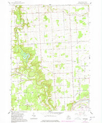
Historical Maps of Port Huron Charter Township Through Time
Featured Locations
- Burtchville Township, MI
- Port Huron Charter Township, MI
- Clyde Township, MI
- Fort Gratiot Charter Township, MI
- Atkins, Clyde Township
Source Details
SourceU.S. Geological Survey
CopyrightPublic Domain