2024 Map of Ruleville
USGS Topo · Published 2024About this map
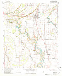
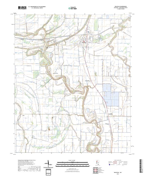
Ruleville stands as the central hub of this Mississippi Delta landscape, where the agricultural grid is deeply intertwined with the winding course of the Big Sunflower River. The river creates distinctive natural landmarks such as Big Eddy Bend and Lion Brake, while smaller tributaries like Burrell Bayou and Quiver River drain the flat, fertile plains. This 2024 survey captures a region defined by its long-standing farming history, evidenced by the numerous family-named cemeteries scattered across the townships, including Hillhouse Cem, Marlow Cem, and Lehrton Cem.
Find a feature on this map
60 named features on this map. Tap any name to fly to it.
Don’t see what you’re looking for? This feature index may not catch every label — zoom into the map to look around manually.
Map Details
Editions of this 2024 Ruleville Map
This is the sole edition of this map. No revisions or reprints were ever made.