Loading...
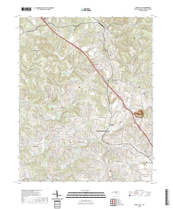
Loading map...2022 Map of Rural Hall
USGS Topo · Published 2022About this map
Wake Forest University grounds anchor the southern portion of this landscape, just north of the Reynolda area. This 2022 survey captures the suburban and rural transition of Forsyth County, where historic settlements like Bethania and Pfafftown maintain their identity amidst modern residential growth. The terrain is defined by the branching tributaries of Muddy Cr and Mill Creek, which have shaped the local topography and historical land divisions.
Find a feature on this map
269 named features on this map. Tap any name to fly to it.
Don’t see what you’re looking for? This feature index may not catch every label — zoom into the map to look around manually.
Map Details
Date Portrayed2022
Date Published2022
PublisherU.S. Geological Survey
Map TypeTopographic
Scale1:24000
Physical Dimensions24 x 29 inches
Editions of this 2022 Rural Hall Map
This is the sole edition of this map. No revisions or reprints were ever made.
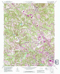
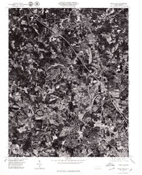
Historical Maps of Alspaugh Through Time
3 maps found
Featured Locations
Source Details
SourceU.S. Geological Survey
CopyrightPublic Domain