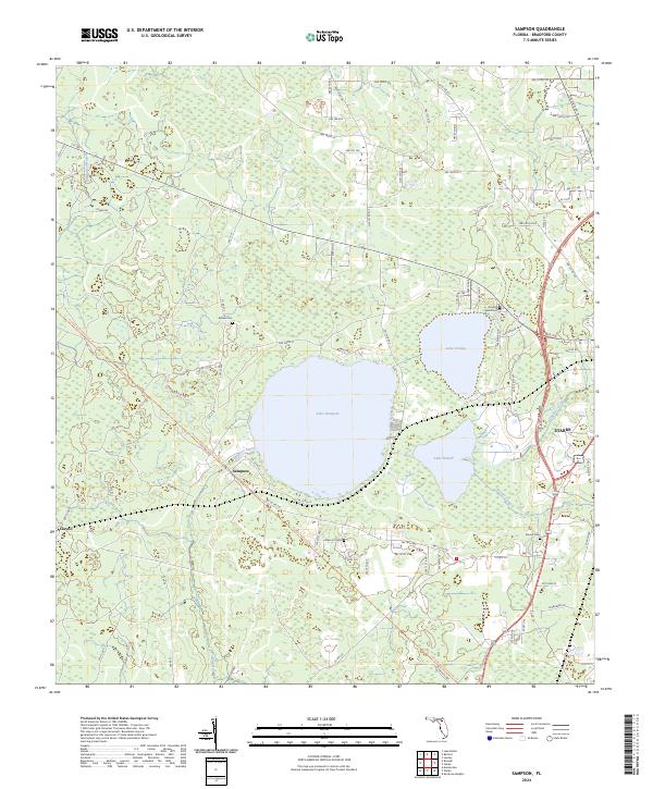
2024 Map of Sampson
USGS Topo · Published 2024About this map
Lake Sampson and its neighboring waters, Lake Crosby and Lake Rowell, anchor the geography of this Bradford County landscape. The settlement of Sampson sits at the southwestern edge of its namesake lake, where the Sampson River begins its course. To the east, the edge of Starke appears, showing a concentrated street grid near Alligator Creek. This 2024 survey captures a mix of longstanding rural landmarks and modern recreation, featuring the Florida National Scenic Trl winding through the western terrain. Genealogists will find several family-named burial sites documented across the landscape, including Brown Cem, Prescott Cem, and Prevatt Cem. The map illustrates the transition from the clustered development of Starke to the expansive wetlands and pine flatwoods that characterize the western sections of the quadrangle near Clayno.
Find a feature on this map
51 named features on this map. Tap any name to fly to it.
Don’t see what you’re looking for? This feature index may not catch every label — zoom into the map to look around manually.
Map Details
Editions of this 2024 Sampson Map
This is the sole edition of this map. No revisions or reprints were ever made.
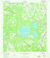
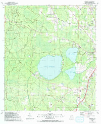
Historical Maps of Pleasant Grove Through Time
3 maps found