Loading...
Loading map...1990 Map of Santa Rosa
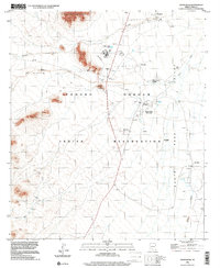
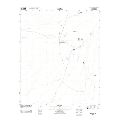
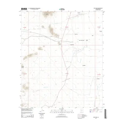
USGS Topo · Published 1990About this map
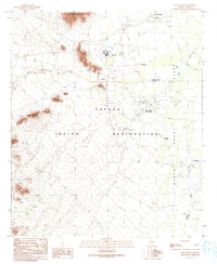
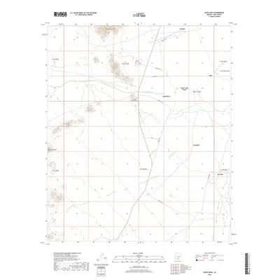
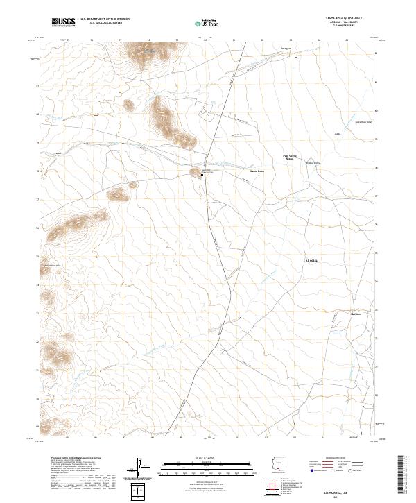
The Sheridan Mountains overlook a high desert landscape shaped by ancestral and modern Tohono O'odham life within the Papago Indian Reservation. The community of Santa Rosa (Gu Achi) serves as a primary hub, flanked by the Santa Rosa Trading Post and the Santa Rosa Sch. This 1990 edition reflects a complex network of traditional desert water management, noted by numerous check dams and check dam labels situated along the Santa Rosa Wash and Anegam Wash.
Find a feature on this map
25 named features on this map. Tap any name to fly to it.
Don’t see what you’re looking for? This feature index may not catch every label — zoom into the map to look around manually.
Map Details
Date Portrayed1990
Date Published1990
PublisherU.S. Geological Survey
Map TypeTopographic
Scale1:24,000
Physical Dimensions22 x 26.8 inches
Editions of this 1990 Santa Rosa Map
This is the sole edition of this map. No revisions or reprints were ever made.
Historical Maps of Anegam Through Time
6 maps found
Featured Locations
- Sif Oidak District, AZ
- Anegam, Sif Oidak District
- Ak Chin, Gu Achi District
- San Luis, Gu Achi District
- Santa Rosa, Gu Achi District
Source Details
SourceU.S. Geological Survey
CopyrightPublic Domain