
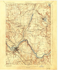
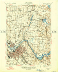
1893 Map of Schenectady
USGS Topo · Published 1893About this map
The Erie Canal and the Mohawk River form the industrial and transport spine of this 1892 survey, which documents the dense network of rails and waterways defining the New York capital region. In Schenectady, the detailed street grid meets the river near Van Slyck Island and the Binne Kill, revealing the city's growth just before the massive expansion of the electrical industry. Northward, the landscape is tied together by the Delaware & Hudson Canal Company R.R. and the Fitchburg Railroad, connecting smaller settlements like Ballston Lake and Jonesville. To the east, the Vischer Ferry crossing and Rexford Flats highlight the crucial river-crossing points that facilitated local commerce and transit. The presence of Round Lake and the Anthony Kill further illustrates a region where water resources dictated the placement of early townships and resort communities.
Find a feature on this map
65 named features on this map. Tap any name to fly to it.
Don’t see what you’re looking for? This feature index may not catch every label — zoom into the map to look around manually.
Map Details
Editions of this 1893 Schenectady Map
This is the sole edition of this map. No revisions or reprints were ever made.
Historical Maps of Colonie Through Time
14 maps found
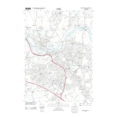
1893 Schenectady
Schenectady County, NY

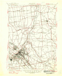
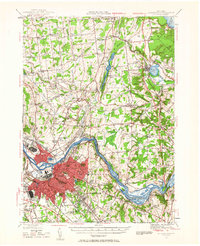
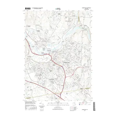
1895 Schenectady
Schenectady County, NY
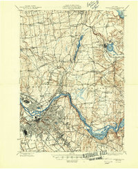
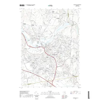
1898 Schenectady
Schenectady County, NY
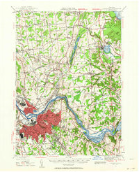
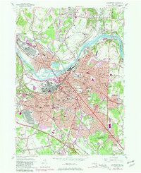
1930 Schenectady
Schenectady County, NY
1947 Schenectady
Schenectady County, NY
1948 Schenectady
Schenectady County, NY
1949 Schenectady
Schenectady County, NY
1954 Schenectady
Schenectady County, NY
1954 Schenectady
Schenectady County, NY
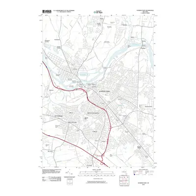
2010 Schenectady
Schenectady County, NY
2013 Schenectady
Schenectady County, NY
2016 Schenectady
Schenectady County, NY
2019 Schenectady
Schenectady County, NY

2023 Schenectady
Schenectady County, NY