Loading...
Loading map...2024 Map of Shady Dale
USGS Topo · Published 2024About this map
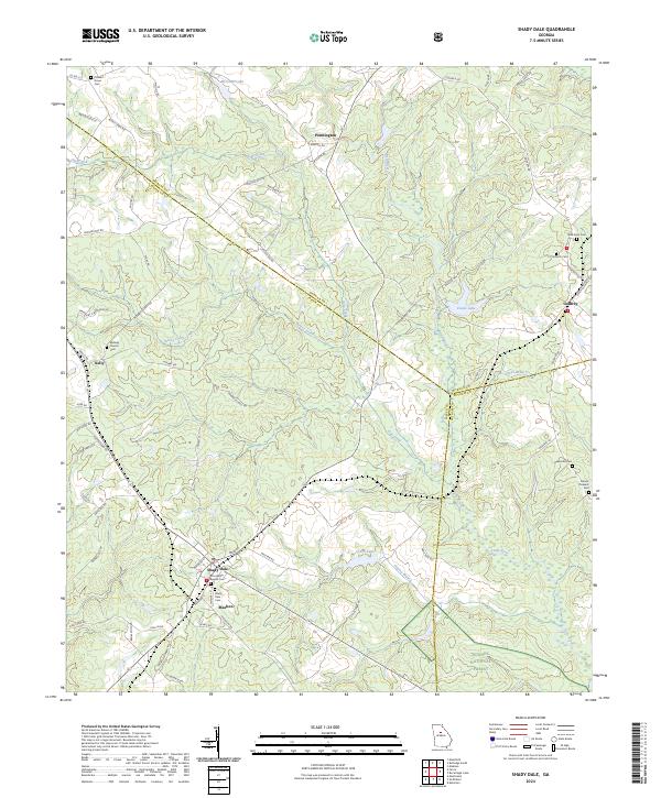
The crossroads of Shady Dale and Machen define the southern landscape of this Jasper County survey, where the rural topography is carved by the Little River and its numerous tributaries. Small family and community landmarks, such as Providence Baptist Cem and Shady Dale Cem, are scattered throughout the agricultural tracts, providing essential markers for genealogical research in this part of Georgia.
Find a feature on this map
74 named features on this map. Tap any name to fly to it.
Don’t see what you’re looking for? This feature index may not catch every label — zoom into the map to look around manually.
Map Details
Date Portrayed2024
Date Published2024
PublisherU.S. Geological Survey
Map TypeTopographic
Scale1:24000
Physical Dimensions24 x 29 inches
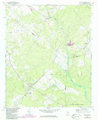
Editions of this 2024 Shady Dale Map
This is the sole edition of this map. No revisions or reprints were ever made.
Historical Maps of Kelly Through Time
Featured Locations
Source Details
SourceU.S. Geological Survey
CopyrightPublic Domain