2023 Map of Shields
USGS Topo · Published 2023About this map
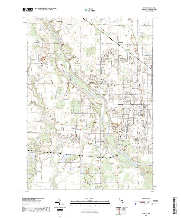
The Tittabawassee River meanders through this Saginaw County landscape, serving as a primary geographical anchor for the communities of Shields, Shattuckville, and Paines. The area is characterized by a dense concentration of historical burial sites and religious landmarks, including the large Roselawn Memorial Gardens and the Holy Cross Lutheran Church Cem. These features, along with the German Lutheran Church Cem near Freeland, provide significant genealogical value for those tracing family lineages in the region.
Find a feature on this map
57 named features on this map. Tap any name to fly to it.
Don’t see what you’re looking for? This feature index may not catch every label — zoom into the map to look around manually.
Map Details
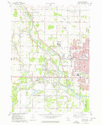
Editions of this 2023 Shields Map
This is the sole edition of this map. No revisions or reprints were ever made.
Historical Maps of Saginaw Charter Township Through Time
Featured Locations
- Kochville Township, MI
- Saginaw Charter Township, MI
- Swan Creek Township, MI
- Thomas Township, MI
- Swan Creek, James Township