2024 Map of Shorter
USGS Topo · Published 2024About this map
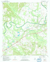
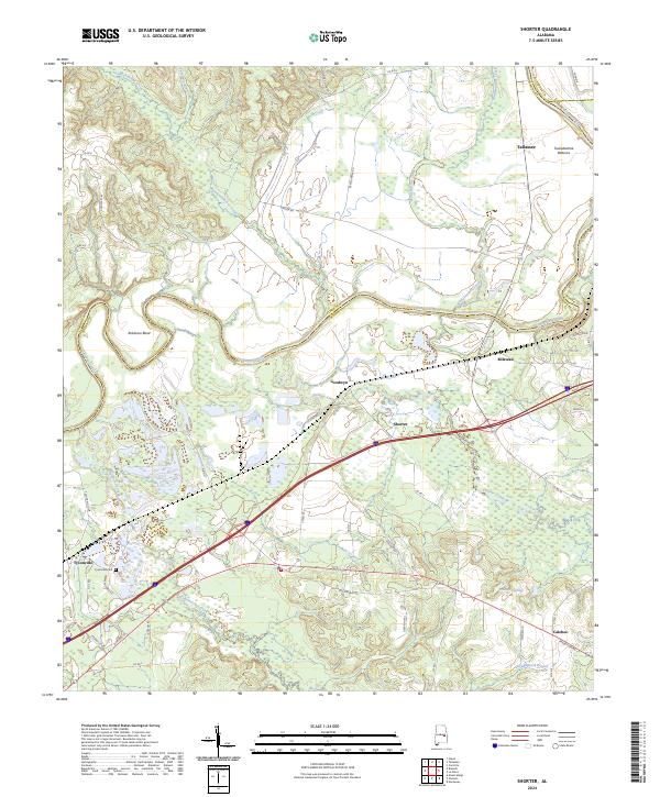
The Tallapoosa River winds through the heart of this landscape, defining the northern border of Macon County and creating the distinct loop of Robinson Bend. This modern topographic study reveals a rural corridor shaped by its waterways and historic transit routes, including the prominent path of the Old Federal Rd and the Old Millpond Branch. Small residential clusters and agricultural communities like Shorter, Milstead, and Goodwyn are connected by a network of county roads that navigate the lowlands of the Tuckabatchie Bottoms. Local history is anchored by sites such as the Tysonville Cem in the southwest and the settlement of Polecat Springs to the east. The drainage patterns of Calebee Creek and Cubahatchee Creek illustrate the hydrologic character of the region, where the terrain shifts between fertile river bottoms and slightly elevated woodland tracks.
Find a feature on this map
56 named features on this map. Tap any name to fly to it.
Don’t see what you’re looking for? This feature index may not catch every label — zoom into the map to look around manually.
Map Details
Editions of this 2024 Shorter Map
This is the sole edition of this map. No revisions or reprints were ever made.