Loading...
Loading map...2023 Map of Skidway Lake
USGS Topo · Published 2023About this map
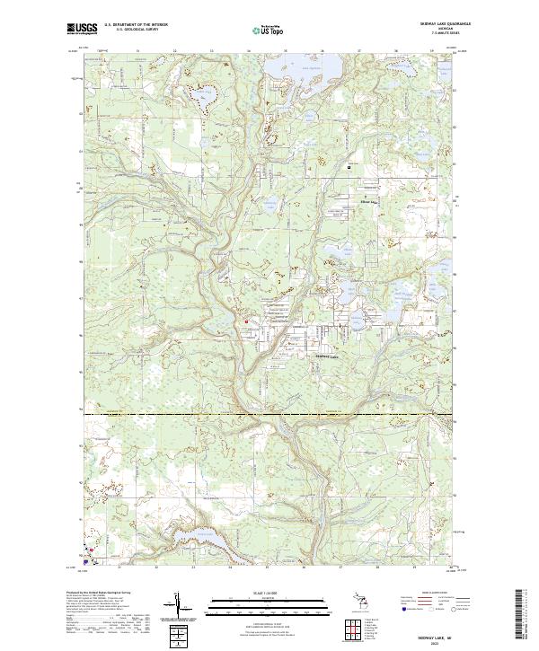
The Rifle River winds through this central Michigan landscape, connecting a dense network of water bodies and residential developments near the Ogemaw Co Arenac Co line. The settlement of Skidway Lake serves as the primary hub, surrounded by smaller basins such as Bush Lake, Turtle Lake, and Elbow Lake. This modern survey illustrates the established road network that has grown around these glacial lakes, including numerous residential drives and larger arteries like Maple Ridge Rd.
Find a feature on this map
109 named features on this map. Tap any name to fly to it.
Don’t see what you’re looking for? This feature index may not catch every label — zoom into the map to look around manually.
Map Details
Date Portrayed2023
Date Published2023
PublisherU.S. Geological Survey
Map TypeTopographic
Scale1:24000
Physical Dimensions24 x 29 inches
Editions of this 2023 Skidway Lake Map
This is the sole edition of this map. No revisions or reprints were ever made.
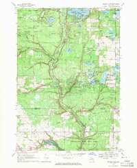
Historical Maps of Alger Through Time
Featured Locations
- Logan Township, MI
- Mills Township, MI
- Churchill Township, MI
- Clayton Township, MI
- Skidway Lake, Mills Township
Source Details
SourceU.S. Geological Survey
CopyrightPublic Domain