2022 Map of Slaughters
USGS Topo · Published 2022About this map
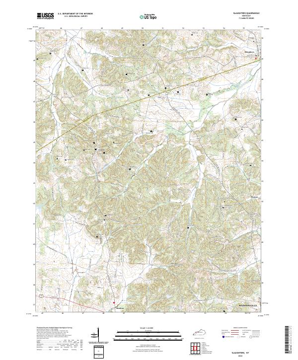
Slaughters stands at the northern edge of this landscape, where the town grid meets a countryside defined by an extensive network of family cemeteries and winding local roads. This area along the Webster Co and Hopkins Co border is characterized by low-lying drainages like Pond Cr and Deer Cr that separate clusters of upland farms. The map reveals a dense distribution of legacy burial sites, including the Slaughters Cem, Mount Gilead Cem, and the dual Olive Branch Cem - North and Olive Branch Cem - South locations. These sites, alongside smaller plots like the Clayton Family Cem, provide a detailed genealogical record of the region’s early families. To the south, the terrain rises toward the Shake Rag Hills and Yarbro Hill, marking the transition into the higher ground north of Madisonville. The survival of old routes such as Stagecoach Rd and Old Dixon-Slaughters Rd underscores the historical transit patterns between these rural communities.
Find a feature on this map
107 named features on this map. Tap any name to fly to it.
Don’t see what you’re looking for? This feature index may not catch every label — zoom into the map to look around manually.
Map Details
Editions of this 2022 Slaughters Map
This is the sole edition of this map. No revisions or reprints were ever made.
Historical Maps of Madisonville Through Time
1 maps found