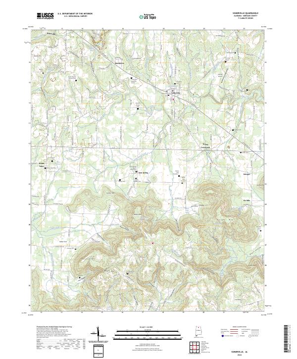
2024 Map of Somerville
USGS Topo · Published 2024About this map
Somerville remains a focal point of this North Alabama landscape, situated near the intersection of AL Highway 67 and Broad Street. The settlement pattern is defined by a dense network of country cemeteries and churches, such as New Center Baptist Church Cem and Barnetts Chapel Cem, reflecting the deep-rooted local history of Morgan County. The terrain transitions from the relatively flat reaches near Priceville to the prominent heights of Fairview Mtn and Cooper Mtn. To the south, the topography is heavily dissected by numerous hollows, including Brindley Hollow and Devils Cellar Hollow, which channel drainage toward Six-Mile Creek. This survey reveals a landscape where aviation at McCall Airport and rural communities like Turney Crossroads coexist with landmark points such as Lovers Leap and Cedar Mtn.
Find a feature on this map
182 named features on this map. Tap any name to fly to it.
Don’t see what you’re looking for? This feature index may not catch every label — zoom into the map to look around manually.
Map Details
Editions of this 2024 Somerville Map
This is the sole edition of this map. No revisions or reprints were ever made.
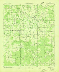
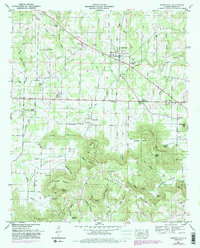
Historical Maps of Henderson Through Time
3 maps found