2024 Map of South Hero
USGS Topo · Published 2024About this map
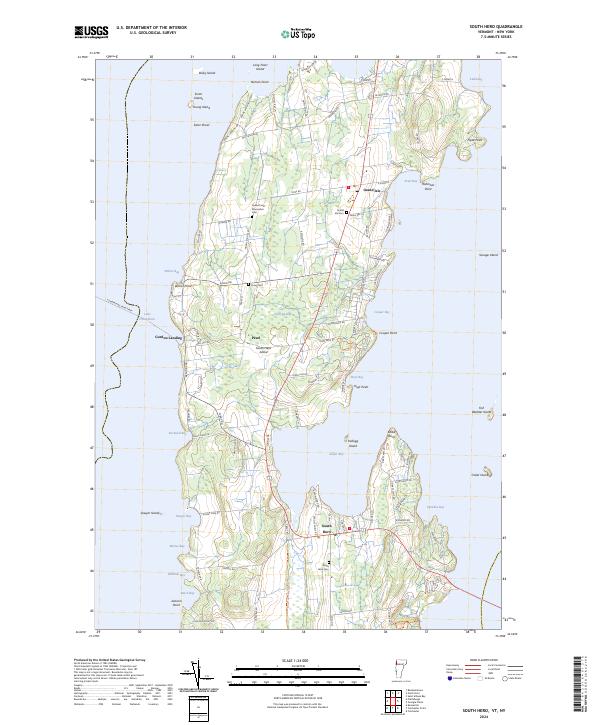
Lake Champlain surrounds the elongated landmass of South Hero Island, where the communities of Grand Isle and South Hero anchor the northern and southern halves of this island landscape. This contemporary survey captures the modern road network, from the local transit at Gordon Landing to the interior routes of Adams Landing Rd and State Park Rd. The island is dotted with small settlements like Pearl and numerous family-named landmarks that hint at deep-rooted land ownership, including Robinson Point and Kibbe Point.
Find a feature on this map
104 named features on this map. Tap any name to fly to it.
Don’t see what you’re looking for? This feature index may not catch every label — zoom into the map to look around manually.
Map Details
Editions of this 2024 South Hero Map
This is the sole edition of this map. No revisions or reprints were ever made.
