Loading...
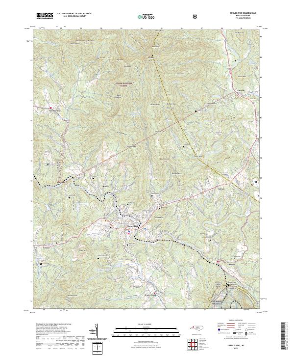
Loading map...2022 Map of Spruce Pine
USGS Topo · Published 2022About this map
The North Toe River carves a deep path through Mitchell County, anchoring a landscape defined by the Clinchfield RR and a network of mountain communities. Spruce Pine serves as a central hub, surrounded by smaller settlements like Minpro, Estatoe, and Penland. The presence of the Blue Ridge Parkway along the southern boundary and the Pisgah National Forest to the north illustrates the region's balance between development and conservation.
Find a feature on this map
202 named features on this map. Tap any name to fly to it.
Don’t see what you’re looking for? This feature index may not catch every label — zoom into the map to look around manually.
Map Details
Date Portrayed2022
Date Published2022
PublisherU.S. Geological Survey
Map TypeTopographic
Scale1:24000
Physical Dimensions24 x 29 inches
Editions of this 2022 Spruce Pine Map
This is the sole edition of this map. No revisions or reprints were ever made.
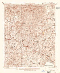
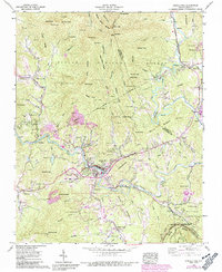
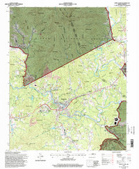
Historical Maps of Penland Through Time
4 maps found
Featured Locations
Source Details
SourceU.S. Geological Survey
CopyrightPublic Domain