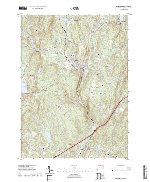
2024 Map of Stafford Springs
USGS Topo · Published 2024About this map
Stafford Springs serves as the focal point of this northern Connecticut landscape, situated at the confluence of the Willimantic River and several contributing brooks. The terrain is defined by a series of prominent ridges and peaks, including Crow Hill, Tolland Hill, and Buff Cap Hill, which dictate the winding paths of roads like Tolland Tpke and W Stafford Rd. Numerous water bodies such as Ellithorpe Reservoir, Crystal Lake, and Staffordville Reservoir are distributed throughout the hills, reflecting the area's deep-rooted hydraulic history.
Find a feature on this map
108 named features on this map. Tap any name to fly to it.
Don’t see what you’re looking for? This feature index may not catch every label — zoom into the map to look around manually.
Map Details
Editions of this 2024 Stafford Springs Map
This is the sole edition of this map. No revisions or reprints were ever made.
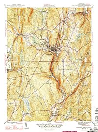
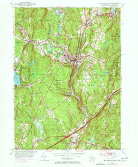
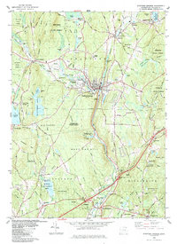
Historical Maps of Ellithorpe Through Time
4 maps found