Loading...
Loading map...2022 Map of Star
USGS Topo · Published 2022About this map
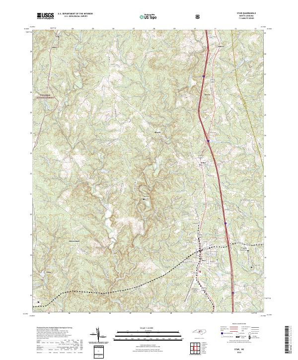
Star sits as a central hub in this part of Montgomery Co, where the local road network and Railroad Rd converge near the Montgomery County Airport. The landscape is defined by the eastern reaches of the Uwharrie National Forest and the winding course of the Little River. To the south, the Troy Reservoirs and numerous small drainages like Suck Br and Dicks Cr underscore the area's complex hydrology.
Find a feature on this map
118 named features on this map. Tap any name to fly to it.
Don’t see what you’re looking for? This feature index may not catch every label — zoom into the map to look around manually.
Map Details
Date Portrayed2022
Date Published2022
PublisherU.S. Geological Survey
Map TypeTopographic
Scale1:24000
Physical Dimensions24 x 29 inches
Editions of this 2022 Star Map
This is the sole edition of this map. No revisions or reprints were ever made.
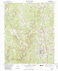
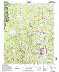
Historical Maps of Allreds Through Time
3 maps found
Featured Locations
Source Details
SourceU.S. Geological Survey
CopyrightPublic Domain