Loading...
Loading map...2021 Map of Stephan
USGS Topo · Published 2021About this map
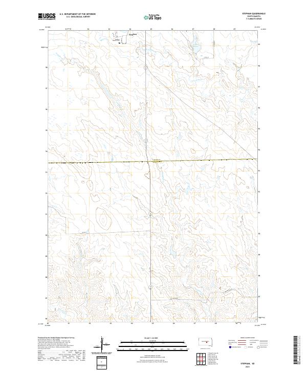
Stephan sits as a primary point of interest in this section of central South Dakota, marking the borderlands between Hyde and Buffalo counties. The landscape is defined by the drainage systems of Campbell Creek and the West Fork Elm Creek, which cut through the high plains toward the Missouri River basin. A significant cultural landmark is the Stephan Mission Cemetery, located near the northern edge of the map, adjacent to the winding Crow Creek Loop.
Find a feature on this map
16 named features on this map. Tap any name to fly to it.
Don’t see what you’re looking for? This feature index may not catch every label — zoom into the map to look around manually.
Map Details
Date Portrayed2021
Date Published2021
PublisherU.S. Geological Survey
Map TypeTopographic
Scale1:24000
Physical Dimensions24 x 29 inches
Editions of this 2021 Stephan Map
This is the sole edition of this map. No revisions or reprints were ever made.
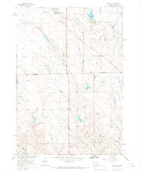
Historical Maps of Fort Thompson District Through Time
Featured Locations
- Buffalo County, SD
- Fort Thompson District, SD
- Grey Hill East Township, Fort Thompson District
- Grey Hill West Township, Fort Thompson District
- Stephan, Fort Thompson District
Source Details
SourceU.S. Geological Survey
CopyrightPublic Domain