2022 Map of Story City
USGS Topo · Published 2022About this map
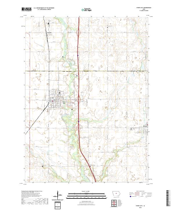
The South Skunk River meanders southward through the central corridor of this landscape, anchoring the settlement of Story City. This 2022 survey captures the modern geography of the area where the Hamilton Co and Story Co line divides the terrain. The map is particularly rich for genealogical research, documenting numerous burial sites including the Old Randall Cem, Boe Cem, Peerson Cem, and Mamrelund Cem. Outside the primary urban center, the agricultural grid is defined by numbered roads such as 100th St and 130th St, while the Skunk River Greenbelt Trl and Story City Trails Trl illustrate the regional commitment to recreation along the river's wooded banks. Smaller watercourses like Miller Cr, Long Dick Cr, and Keigley Br drain the surrounding fields, which are dotted with smaller communities like Randall to the north and Roland at the eastern edge.
Find a feature on this map
47 named features on this map. Tap any name to fly to it.
Don’t see what you’re looking for? This feature index may not catch every label — zoom into the map to look around manually.
Map Details
Editions of this 2022 Story City Map
This is the sole edition of this map. No revisions or reprints were ever made.
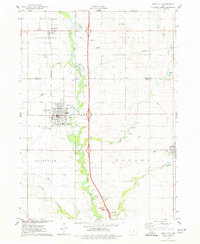
Historical Maps of Randall Through Time
Featured Locations
- Lafayette Township, IA
- Story City, IA
- Scott Township, IA
- Randall, Ellsworth Township
- Roland, Howard Township