Loading...
Loading map...2022 Map of Suamico
USGS Topo · Published 2022About this map
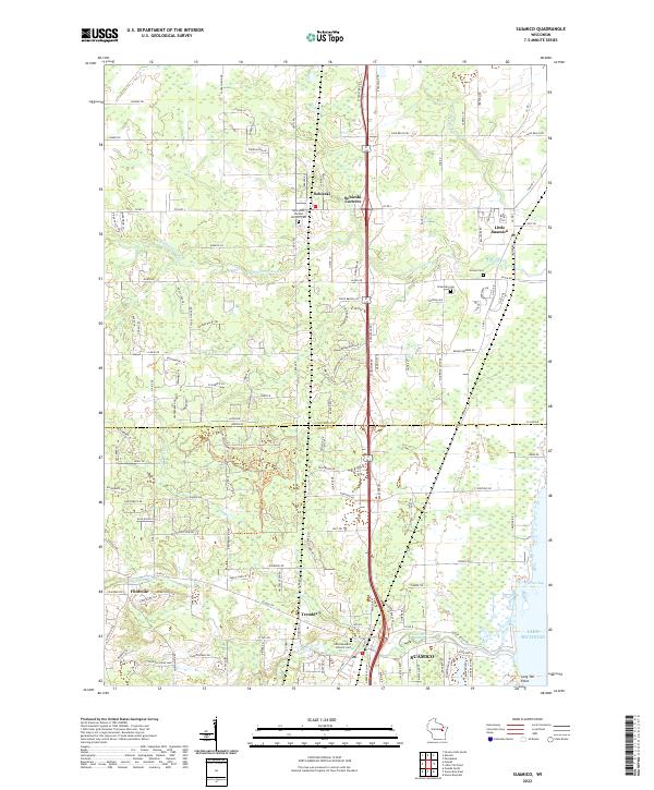
The Suamico area and the bayfronts of Lake Michigan define this coastal Wisconsin landscape, where the Suamico River and Little Suamico River drain eastward toward Green Bay. The map highlights the transition from the marshy wetlands near Long Tail Point to the inland agricultural and residential clusters. Settlements such as Sobieski, Flintville, and Tremble are connected by a network of established county roads, reflecting the region's enduring rural character.
Find a feature on this map
137 named features on this map. Tap any name to fly to it.
Don’t see what you’re looking for? This feature index may not catch every label — zoom into the map to look around manually.
Map Details
Date Portrayed2022
Date Published2022
PublisherU.S. Geological Survey
Map TypeTopographic
Scale1:24000
Physical Dimensions24 x 29 inches
Editions of this 2022 Suamico Map
This is the sole edition of this map. No revisions or reprints were ever made.
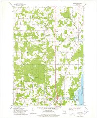
Historical Maps of Abrams Through Time
Featured Locations
Source Details
SourceU.S. Geological Survey
CopyrightPublic Domain