2022 Map of Trenton
USGS Topo · Published 2022About this map
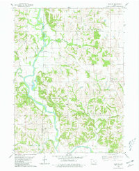
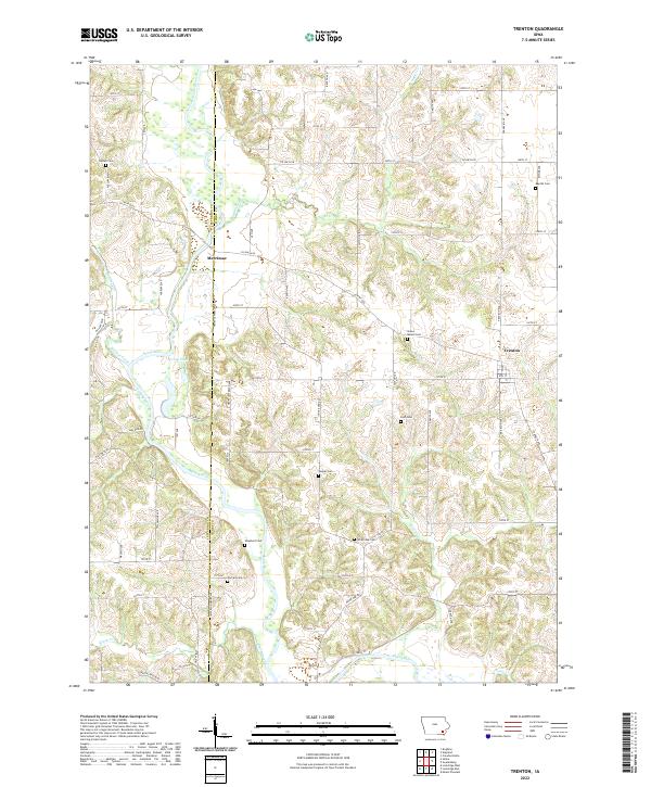
The Skunk River carves a winding path across this landscape, defining the boundary between Jefferson and Henry counties. This agricultural region is anchored by the small community of Trenton, with the smaller settlement of Merrimac located further west along the river. The terrain is notably dissected by several watercourses, including Sugar Cr, Green Cr, and Walnut Creek, which create a complex network of ridges and drainages that have influenced the placement of rural homesteads and roads.
Find a feature on this map
49 named features on this map. Tap any name to fly to it.
Don’t see what you’re looking for? This feature index may not catch every label — zoom into the map to look around manually.
Map Details
Editions of this 2022 Trenton Map
This is the sole edition of this map. No revisions or reprints were ever made.