2022 Map of Troy
USGS Topo · Published 2022About this map
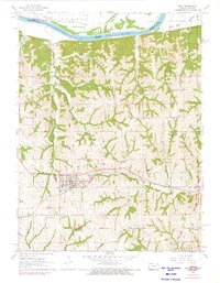
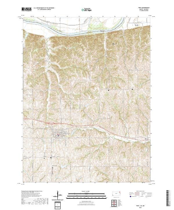
Troy serves as the focal point of this Doniphan County landscape, where the Doniphan County Courthouse stands at the heart of the local road network. The terrain is defined by the sharp transition from the bluffs to the north, overlooking the expansive Burr Oak Bottom and the winding course of the Missouri River. The area is characterized by a high concentration of established rural burial grounds, including the Saint Charles Cem, Mount Olive Cem, and the Courter-Ritchey Cem, reflecting generations of settlement in this river-border region. Along the eastern edge, the community of Blair sits near the base of the hills, while numerous creeks like Mosquito Cr and Peters Cr cut through the undulating upland topography, illustrating the natural drainage patterns that have historically shaped land use and property boundaries in northeast Kansas.
Find a feature on this map
65 named features on this map. Tap any name to fly to it.
Don’t see what you’re looking for? This feature index may not catch every label — zoom into the map to look around manually.
Map Details
Editions of this 2022 Troy Map
This is the sole edition of this map. No revisions or reprints were ever made.