Loading...
Loading map...2022 Map of Tyro
USGS Topo · Published 2022About this map
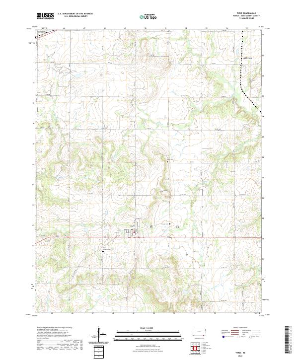
Tyro sits at the intersection of local routes in southern Montgomery County, serving as a central hub for the surrounding agricultural landscape. The town is marked by its grid of streets including Lester St, W Main St, and 1st St, with the local Post Office situated near the town center. The area's history is preserved in several burial grounds, including the Trinity Lutheran Cem to the southwest and Pioneer Cem just east of the main settlement.
Find a feature on this map
55 named features on this map. Tap any name to fly to it.
Don’t see what you’re looking for? This feature index may not catch every label — zoom into the map to look around manually.
Map Details
Date Portrayed2022
Date Published2022
PublisherU.S. Geological Survey
Map TypeTopographic
Scale1:24000
Physical Dimensions24 x 29 inches
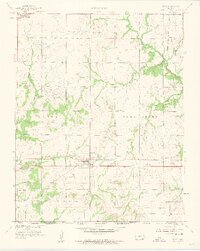
Editions of this 2022 Tyro Map
This is the sole edition of this map. No revisions or reprints were ever made.
Historical Maps of Jefferson Through Time
Featured Locations
Source Details
SourceU.S. Geological Survey
CopyrightPublic Domain