Loading...
Loading map...2023 Map of Union Bridge
USGS Topo · Published 2023About this map
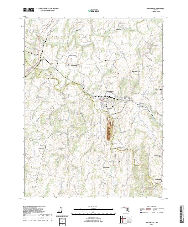
Union Bridge and the surrounding Maryland countryside are defined by a network of historic milling sites and small agricultural crossroads settlements. The map highlights a rural economy tied to the local hydrology, with Crouse Mill, Otterdale Mill, and Simpsons Mill distributed along the windings of Big Pipe Creek and Little Pipe Creek. These waterways serve as the primary geographical anchors for the region, which straddles the Carroll Co Frederick Co line.
Find a feature on this map
115 named features on this map. Tap any name to fly to it.
Don’t see what you’re looking for? This feature index may not catch every label — zoom into the map to look around manually.
Map Details
Date Portrayed2023
Date Published2023
PublisherU.S. Geological Survey
Map TypeTopographic
Scale1:24000
Physical Dimensions24 x 29 inches
Editions of this 2023 Union Bridge Map
This is the sole edition of this map. No revisions or reprints were ever made.
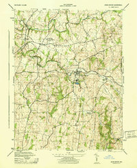
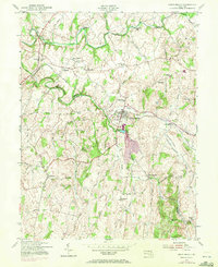
Historical Maps of Keymar Through Time
3 maps found
Featured Locations
Source Details
SourceU.S. Geological Survey
CopyrightPublic Domain